File:Interstate 35 29 map.png
Jump to navigation
Jump to search
Original file (2,128 × 1,286 pixels, file size: 100 KB, MIME type: image/png)
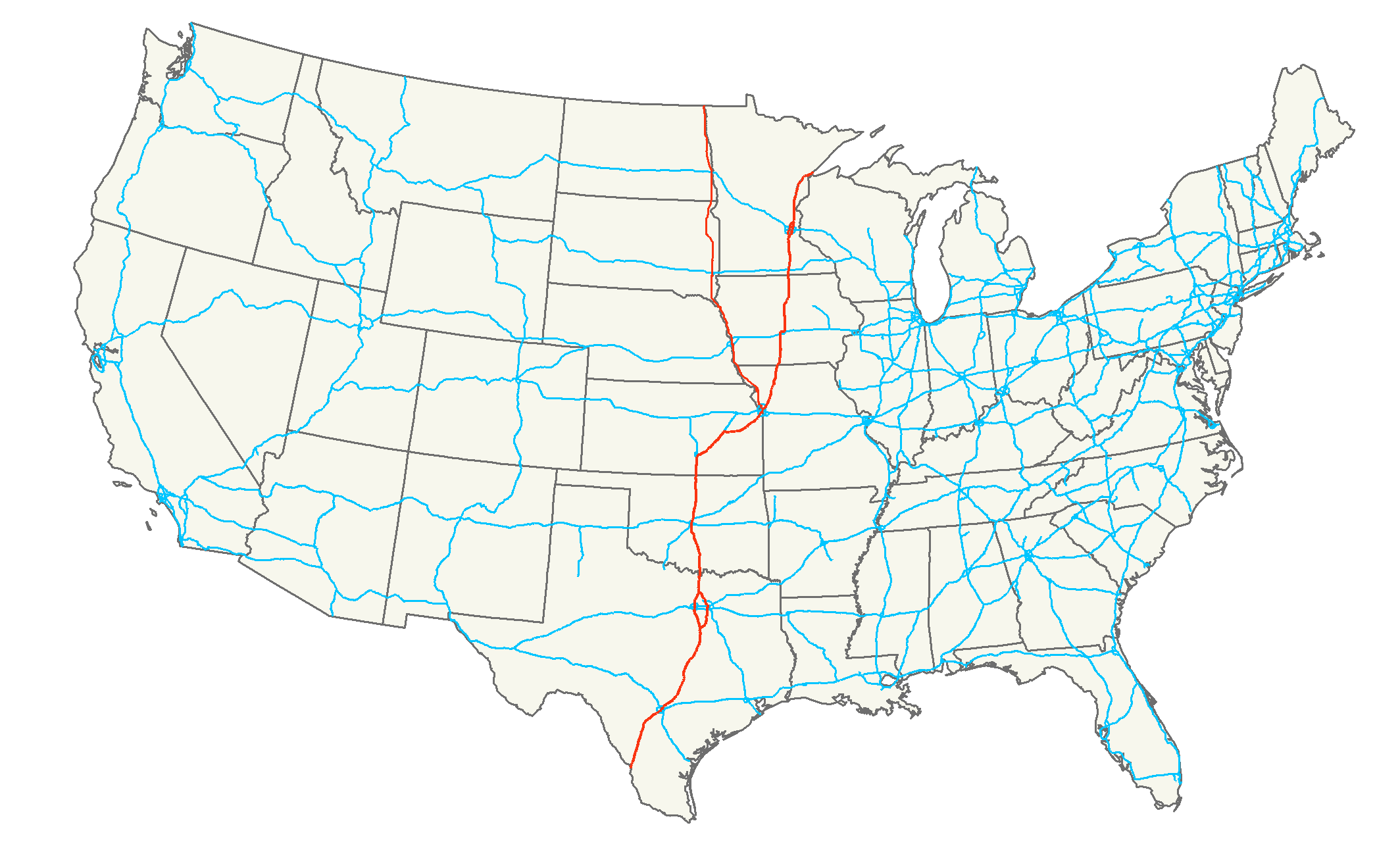
| Description | Map of Interstate 35 and Interstate 29 |
| Date | (UTC) |
| Source | Own work |
| Author | Dual Freq with basemap by Nick Nolte |
| Permission (Reusing this file) |
Own work, all rights released (Public domain) |
| Other versions | Based on Image:Interstate_35_map.png by Nick Nolte |
| I, the copyright holder of this work, release this work into the public domain. This applies worldwide. In some countries this may not be legally possible; if so: I grant anyone the right to use this work for any purpose, without any conditions, unless such conditions are required by law. |
Format

|
This road map image could be re-created using vector graphics as an SVG file. This has several advantages; see Commons:Media for cleanup for more information. If an SVG form of this image is available, please upload it and afterwards replace this template with
{{vector version available|new image name}}.It is recommended to name the SVG file “Interstate 35 29 map.svg”—then the template Vector version available (or Vva) does not need the new image name parameter. |
File history
Click on a date/time to view the file as it appeared at that time.
| Date/Time | Thumbnail | Dimensions | User | Comment | |
|---|---|---|---|---|---|
| current | 18:23, 13 January 2008 | No thumbnail | 2,128 × 1,286 (100 KB) | commonswiki>Dual Freq | {{Information| |Description=Map of Interstate 35 and Interstate 29 |Source=Own Work |Date=~~~ |Author=Dual Freq with basemap by Nick Nolte |Permission=Own work, all rights released (Public domain) |other_versions |
File usage
There are no pages that use this file.