File:Main east of Wilson, Delta.jpg
Jump to navigation
Jump to search
Original file (6,016 × 4,000 pixels, file size: 6.38 MB, MIME type: image/jpeg)
| Camera location | | View this and other nearby images on: OpenStreetMap |
|---|
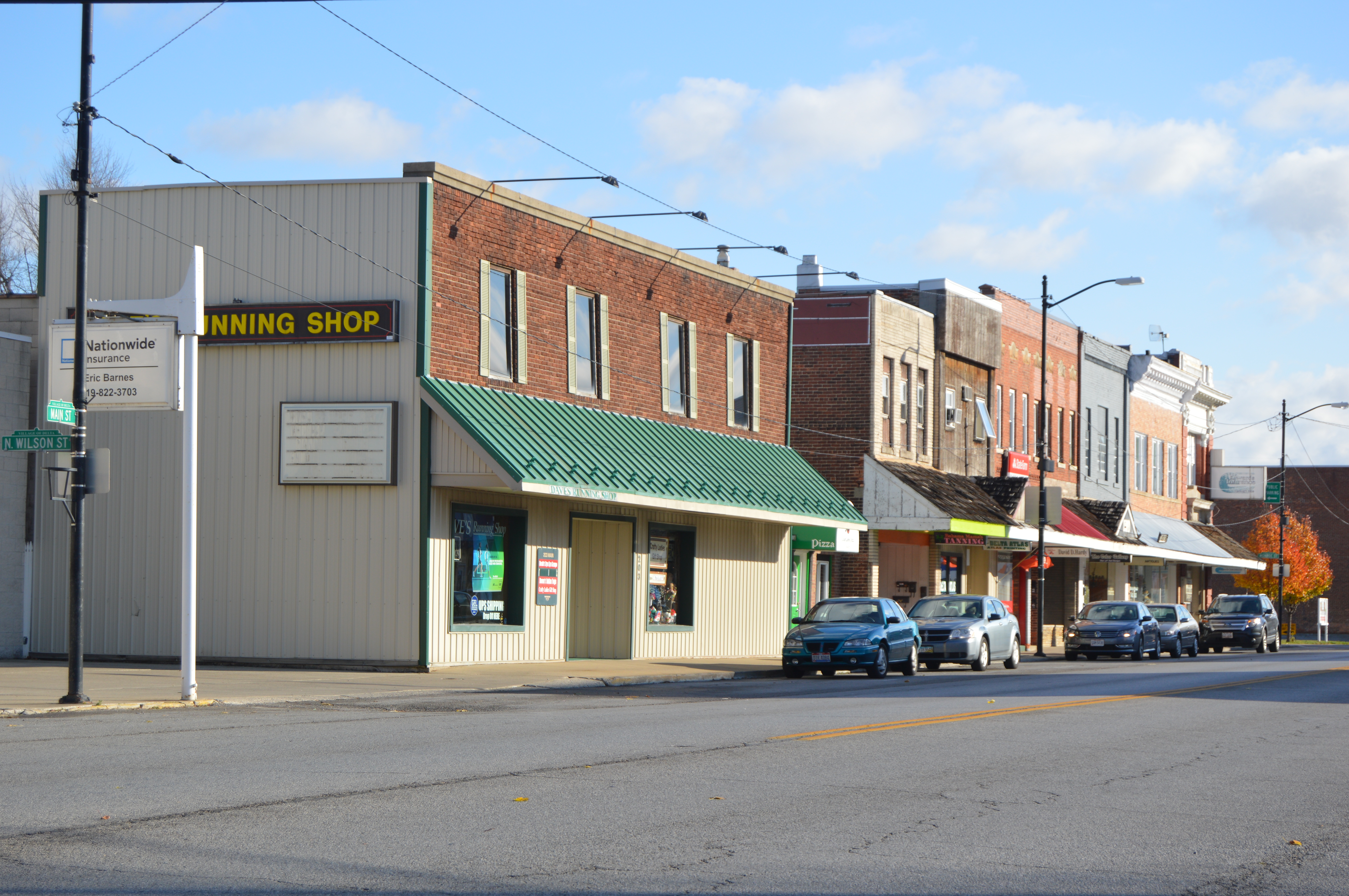
| Description |
English: Buildings on Main Street (U.S. Route 20 Alternate/State Route 2) east of the Wilson Street intersection in Delta, Ohio, United States. |
||
| Date | Taken on 19 November 2015 | ||
| Source | Own work | ||
| Author | Nyttend | ||
| Permission (Reusing this file) |
|
File history
Click on a date/time to view the file as it appeared at that time.
| Date/Time | Thumbnail | Dimensions | User | Comment | |
|---|---|---|---|---|---|
| current | 01:32, 22 November 2015 | No thumbnail | 6,016 × 4,000 (6.38 MB) | commonswiki>Nyttend | {{Location|41|34|26|N|84|0|30|W}} {{Information |description={{en|Buildings on Main Street ({{w|U.S. Route 20}} Alternate/{{w|Ohio State Route 2|State Route 2}}) east of the Wilson Street intersection in {{w|Delta, Ohio|Delta}}, {{w|Ohio}}, {{w|United... |
File usage
There are no pages that use this file.